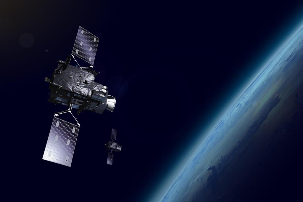
According to experts, it represents a major boost to the WMO community’s ability to forecast extreme weather events and monitor climate change.
By providing accurate, high-resolution data to predict severe weather events, the two main instruments on board Meteosat-12, the Flexible Combined Imager and the Lightning Imager, play a crucial role in enabling meteorological services to help protect lives and livelihoods.
Data from Meteosat-12 instruments are currently being disseminated to national and other meteorological services for operational use and are expected to have a significant impact on weather forecasting and understanding our climate.
According to Eumetsat Director General Phil Evans, MTG is one of the most innovative and complex meteorological satellite systems ever built.
The MTG satellites will ensure data continuity for weather forecasting from geostationary orbit for the next 20 years.
This significantly improves meteorological imaging and brings a completely new measurement capability for near real-time lightning imaging –something completely new for European meteorological satellites.
“The high resolution and frequent repeat cycle of the Meteosat-12 imager will greatly assist the WMO community in improving extreme weather forecasts, as well as long-term climate monitoring, marine applications and agricultural meteorology,” said WMO Secretary General Celeste Saulo.
In addition to a significant improvement in satellite meteorological imagery over Europe, Meteosat-12 will enhance observation capabilities in Africa, where in situ or other remotely sensed observations are largely unavailable.
ef/ga/lpn


