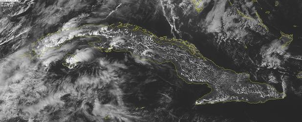
According to forecasts, rainfall may become heavy and locally intense, and extend to the western region from tomorrow, Saturday, until Sunday.
Dr. Miriam Teresita Llanes, head of the Forecasting Center of the Institute of Meteorology (Insmet), told Granma newspaper that the announced deterioration of weather conditions is due to the advance of an active tropical wave, in the heart of which a low-pressure center should form near or over the country.
The specialist stressed that in the areas of rainfall and thunderstorms, strong winds and even severe thunderstorms may be recorded.
Close attention should be paid to floods that could be generated in low lying areas and areas with poor drainage, she stressed.
She indicated that satellite images showed that the tropical wave covered the Dominican Republic, Haiti, and the northern portion of the eastern Caribbean Sea.
Given its trajectory and the oceanic and atmospheric conditions favorable to tropical cyclone development, Insmet will keep a close watch on the evolution of the system.
jrr/jav/mem/abm


