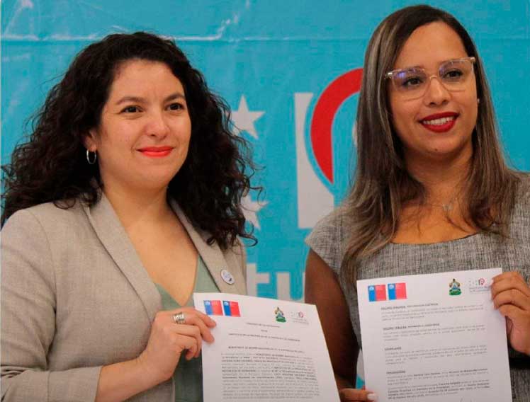
The agreement provides the strengthening of the National Geographic System with the use of knowledge transfer in standards and Geonodo technology (web application), so as to guarantee the interoperability of the platforms implemented by the IP, Canal 8 television reported. It also promotes greater use of geographic data and takes advantage of territorial information and transparent access to information by Honduran citizens and institutions.
The pact institutes the donation of the referred web application as a way of guaranteeing the life cycle of the geographic information from the survey through mobile devices, processing and publication of data through control boards and interactive maps.
It also provides advice on best practices for standardization, according to the ISO 19,100 standard for geography, as well as on the development and implementation of processes to ensure data quality.
The benefits of the agreement for this Central American country also include the creation of integrated processes in which the Government and the municipalities generate continuous work flows guaranteeing updated geographic information for public access and its use for the benefit of the Honduran people.
jrr/jav/ro/ybv


